Paper Maps for Preparedness: What to Buy and Why
This post may contain affiliate links. Read my full disclosure here.
Most of us rely on smartphones and GPS for navigation. They work well—until they don’t. Power outages, cell tower failures, software glitches, dead batteries, and network congestion can all leave you without access to digital maps when you need them most. That’s why paper maps remain an important part of emergency preparedness.
Whether you’re planning evacuation routes, identifying local resources, or simply trying to find your way when technology fails, paper maps provide a reliable backup that doesn’t depend on electricity, batteries, or an internet connection.
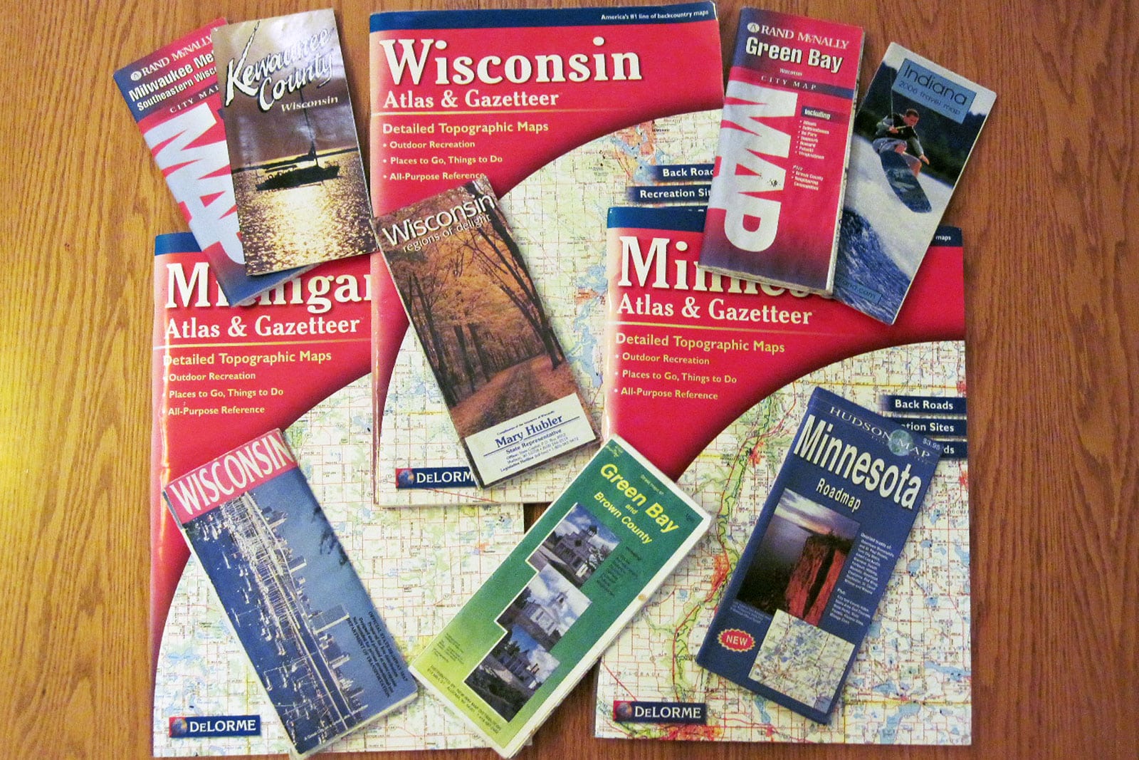
Table of Contents
Why You Need Paper Maps
Modern navigation systems are convenient, but they have a single point of failure: technology.
During major emergencies, the systems we normally depend on can become unavailable. Severe storms may knock out power for days. Wildfires, hurricanes, floods, or civil emergencies can disrupt communications infrastructure. Even something as simple as a dead phone battery can leave you without directions.
A paper map works under all of those conditions.
Unlike electronic devices, paper maps:
- Never need charging
- Cannot be hacked
- Continue working during power outages
- Are not affected by network congestion
- Allow you to see a large area at once
- Make route planning easier
Having a paper map available gives you options when conditions change quickly. Keep some in your Bug Out Bag as well as in vehicles.
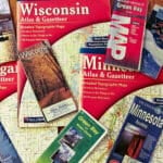
What Types of Paper Maps Should You Own?
Different situations call for different maps. Ideally, your preparedness supplies should include several types.
Local Road Maps
Every household should have a detailed map of the local area.
These maps help you identify:
- Alternate routes around accidents and road closures
- Back roads and secondary highways
- Nearby communities
- Hospitals and emergency services
- Potential evacuation routes
Many people discover that the route they drive every day is not necessarily the best route during an emergency. For instance, my friend Amber lives in an area that is prone to flooding. She’s had to reroute to reach home or supplies on more than one occasion.
State and Regional Maps
A larger map covering your state and neighboring states helps with longer-distance travel.
These maps are useful if:
- You need to evacuate a large area
- You have family in another region
- Major highways become congested
- Weather events affect travel across multiple counties
A folding map stored in your vehicle takes up very little space but can prove invaluable during long-distance travel. We keep some in door pockets and some in the glove compartment. You can also keep them in your roadside emergency kit or winter car kit.
Topographic Maps
Topographic maps show terrain features such as:
- Hills and valleys
- Streams and rivers
- Forests
- Elevation changes
- Trails and unimproved roads
These detailed maps are particularly useful for rural properties, hunting land, hiking areas, and bug-out locations. If you live in a rural area, consider obtaining topographic maps covering your property and surrounding communities.
City Maps
If you live in a metropolitan area, city maps can help identify:
- Alternate routes
- Public transportation options
- Hospitals
- Government offices
- Bridges and major choke points
Traffic patterns can change rapidly during emergencies. Having a larger view of the city can make route planning easier.
Build a Preparedness Map Binder
Instead of relying on a single map, consider creating a preparedness map binder. These are extra helpful if you live where evacuations or emergency road closures are more common.
Include:
- Local road maps
- State maps
- Regional maps
- Topographic maps
- Emergency contact lists
- Important addresses
- Evacuation plans
- Meeting locations for family members
Protect maps with sheet protectors or laminate frequently used pages. You can mark routes and notes with dry-erase markers and update them as conditions change.
Mark Important Locations
Your maps become far more valuable when customized.
Would you like to save this?
Consider marking:
- Home
- Family members’ homes
- Friends and trusted neighbors
- Hospitals and clinics
- Fire departments
- Shelters
- Fuel stations
- Water sources
- Storage units
- Supply stores
- Alternate meeting locations
Some preparedness-minded families also mark historical flood zones, road closures, and seasonal hazards. One reader noted that during a particularly wet year, they marked roads that regularly flooded. That local knowledge helped them avoid problem areas later and improved their emergency planning.
Know Your Risk Areas
Every community has locations that may become trouble spots during emergencies.
Depending on where you live, these may include:
- Flood-prone areas
- Low-water crossings
- Tornado-prone corridors
- Wildfire risk zones
- Industrial facilities
- Chemical plants
- Power plants
- Major traffic bottlenecks
- Bridges and tunnels
- Areas with frequent winter road closures
A paper map allows you to identify these locations and plan alternate routes ahead of time. Whether disasters are natural or manmade, we need to adapt and adjust.
In April 2026, we had significant local flooding here in northeast Wisconsin due to heavy rains. In May 2026, a chemical tank at an Orange County aerospace plant threatened to explode, forcing the evacuation of 50,000 residents.
Where to Get Paper Maps
Fortunately, quality maps are still widely available.
Good sources include:
State Highway Departments
Many state transportation departments provide free or low-cost road maps. These are often surprisingly detailed and are excellent for vehicle travel.
AAA
AAA remains one of the best sources for road maps and travel guides. Members can often receive maps at no additional cost.
USGS Topographic Maps
The United States Geological Survey provides highly detailed topographic maps covering the entire country. These maps are excellent for rural preparedness, hiking, hunting, and property planning.
Outdoor and Sporting Goods Stores
Stores serving hikers, hunters, campers, and outdoor enthusiasts often carry detailed maps for local areas.
National Park and Forest Service Offices
Public lands offices frequently offer maps showing roads, trails, campgrounds, water features, and terrain.

![National Geographic Road Atlas 2027: Adventure Edition [United States, Canada, Mexico]](https://m.media-amazon.com/images/I/51g+DvKGgYL._SL160_.jpg)

Making Maps a Part of Your Life
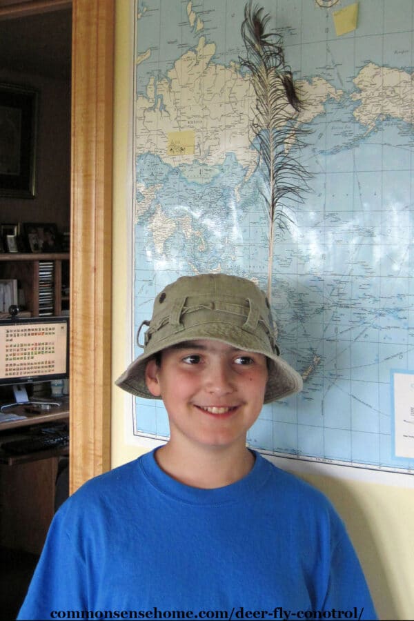
This may sound a little odd, but along with more standard paper maps, we also have maps on our walls and as placemats. We home schooled when our boys were younger, so I put up a U.S. map and a world map on the wall. We got maps of the continents on placemats for the table.
Now, we keep the maps around (and have replaced them as needed). When current events come up, we can immediately see an overview of the area. It helps to build a frame of reference for discussion.
To bring this concept closer to home, you can mount a local map and mark important information. You may want to add locations and contact info for neighbors, local emergency services, or even favorite local businesses.
In the country it may be practical to know the names of neighbors within a five mile radius. In the city, you should still get to know your closest neighbors. During emergencies, we often end up working with and depending on those who are the closest to us.
Paper Maps Are Cheap Insurance
Preparedness isn’t about expecting the worst. It’s about having practical backups for everyday systems. Most people already keep flashlights, extra batteries, and emergency food on hand. Paper maps belong in the same category of preparedness basics.
A good map costs very little, lasts for years, and may prove invaluable when technology isn’t available. In a world that increasingly depends on screens and digital networks, a simple paper map remains one of the most reliable preparedness tools you can own.
Next step: Once you have maps, learn how to use them. See our guide on how to read a map and navigate with confidence.

This article was written by Laurie Neverman. Laurie is the creator of Common Sense Home, and author of Common Sense Preparedness. She and her family live in northeast Wisconsin in their ICF home, which they jokingly refer to as their “concrete bunker”. They use three types of solar and have extensive gardens and food forests.
Originally published in 2013, last updated in 2026.
Thank you so very much.
Just want you to know I love your site! It is one stop shopping for all things homestead! My husband and I are headed in that direction, our goal is to move onto a piece of property somewhere 2 years from now. We hope to buy it this summer so we have 2 years to develop and build.
I am sure I will be making many more visits to your site in the months and years to come!
Thanks again.
Julie
Hi Julie! I like your blog name. 🙂 Much success to you and your family with your homesteading adventures, and thank you for your kind words.
This is actually on our Preplist this weekend – get a local map and a state map for each of our go bags and for the cars. We’ve done a printed city map that we’ve covered in contact paper to keep it more waterproof and rolled to be able to have ways of getting through the countryside immediately.
Good for you! We’ve got an assortment of maps, but are still building the collection. Another interesting thing that I didn’t mention in the post is zoning for different areas. Our township has a long term development plan and is zoned accordingly, so this helps keep track of what’s likely to be built in an area.
I love maps and we’ve amassed quite a collection! Thank you so much for hosting! If you’ve ever wanted to own your own grain mill I wanted to let you know I’m doing a giveaway on my blog! On The Home Front
Sounds like a great giveaway.